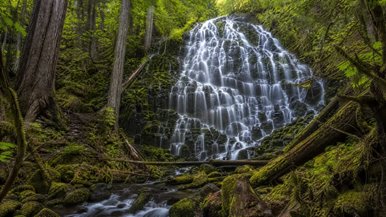
Ramona Falls Trail
The route in numbers
The USFS describes the hike as a “7-mile roundtrip”, gaining 1,000 feet over the 3.5 miles to the falls. The best hikes page sets it beside the other day hikes. The falls lie on the west side of Mount Hood, inside the Mount Hood Wilderness, whose rules apply on the trail. Current details are on the USFS Ramona Falls Trail page.
The Sandy River crossing
For years a seasonal footbridge carried hikers over the Sandy River on the way to the falls. That is no longer the case. The USFS page is direct about it: “There is no bridge, nor will one be installed.” Hikers ford the river, and older trip reports or guidebooks that mention a bridge are out of date. River conditions can change. Footwear that can get wet, trekking poles and a willingness to turn back if the crossing looks unsafe are part of planning this hike. The safety page covers river crossings and other hazards on the mountain.
Getting to the trailhead
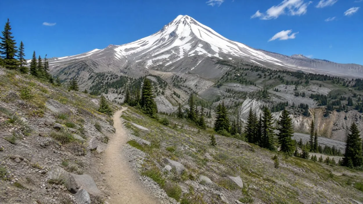
The USFS states that high-clearance vehicles are “strongly recommended” for the road to the trailhead, and the trailhead gate opens on April 1, later in a year when snow remains. The drive from Portland, winter chain rules and road reports are on the getting there page.
Passes and the wilderness permit
Two separate documents apply here, and they are easy to mix up:
- Recreation Pass, May 1 to October 31, for parking at the trailhead: the day-use fee, a Northwest Forest Pass or an Interagency pass (USFS).
- Wilderness permit, May 15 to October 15: free and self-issued at the trailhead portal, because the trail enters the Mount Hood Wilderness (USFS).
Neither is the Mt. Hood Climbing Permit, which is a different, fee-based permit for travel above 9,500 feet and has nothing to do with a hike to Ramona Falls. The passes and permits page sets out all three side by side.
Links to the PCT and the Timberline Trail
Ramona Falls sits where longer routes meet. On its Timberline Trail page, the USFS reports “significant blowdown between Muddy Fork and Yocum Ridge” and suggests bypassing that section via the Pacific Crest Trail from Ramona Falls to Top Spur. The Timberline Trail itself runs about 40 miles around the mountain (USFS), usually over 3 or 4 days between July and October, and fords several rivers, the Sandy among them. The Timberline Trail page covers the full loop.
Status in 2026
Ramona Falls is not on the list of trails closed by the 2026 Grasshopper Fire, which affected the east side of the mountain. Wildfires closed a number of trails on the east side of the mountain in late summer 2026; check the Mt. Hood National Forest alerts page before setting out. The Timberline Trail blowdown noted above is a separate issue that the USFS page describes as current, and it adds: “This trail is not fully maintained.”
Ramona Falls and the day tours
None of the six GetYourGuide products goes to Ramona Falls, according to their listings. The product with the most time on the mountain is the Mt Hood & Columbia River Private tour from Portland: its listing gives 1.5 hours at Timberline Lodge and Ski Area and a 1-hour Mount Hood photo stop, for one party of up to 5 people, with pickup at Portland International Airport or Hotel Lucia. The listing does not mention a hike to a named trail. The hiking tours page explains why the bookable products are day trips rather than hikes.
Footwear that can get wet, plus dry socks for after the Sandy River ford, makes the crossing easier to manage; the USFS page is the place to check current trail notes first.
Frequently asked questions
Is there a bridge over the Sandy River at Ramona Falls?
No. The USFS states: “There is no bridge, nor will one be installed.” Hikers ford the river. See the safety page.
How long is the Ramona Falls hike?
A 7-mile round trip with about 1,000 feet of gain over the 3.5 miles to the falls (USFS).
Do you need a permit for Ramona Falls?
A free, self-issued wilderness permit from May 15 to October 15, and a Recreation Pass for parking from May 1 to October 31 (USFS). See passes and permits.
What kind of car does the road need?
The USFS strongly recommends a high-clearance vehicle. The trailhead gate opens April 1, later if snow remains.